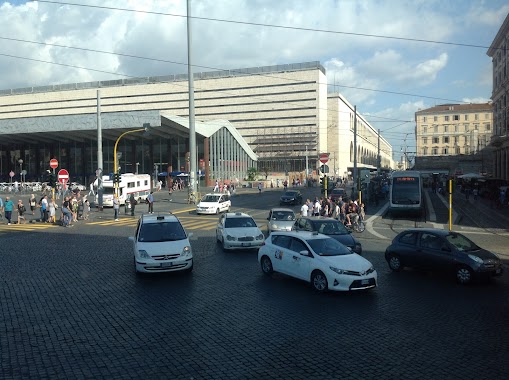
Bus station nearby Termini (Ma-mb-fs)
Coronavirus disease (COVID-19) Situation
confirmed cases
26723249
deaths
196487
Italy
Bus station nearby Termini (Ma-mb-fs)
Termini (Ma-mb-fs)
00185 Rome, Metropolitan City of Rome, Italy
contacts phone
:
+39
Latitude:
41.9015219
, Longitude:
12.4991105
larger map & directions
read more
nearest Bus station
208 m
Repubblica (Ma)
Italy
Bus station
read more
235 m
SIT bus station
Via Marsala, 5, Roma
Bus station
read more
333 m
Nazionale/torino
Italy
Bus station
read more
346 m
Volturno/cernaia
Italy
Bus station
read more
353 m
Vittorio Emanuele Orlando,95
Italy
Bus station
read more
361 m
Gioberti
Italy
Bus station
read more
384 m
Esquilino
Italy
Bus station
read more
428 m
Indipendenza
Italy
Bus station
read more
511 m
S. Maria Maggiore
Roma
Bus station
read more
571 m
L.go S. Susanna
Italy
Bus station
read more
584 m
Nazionale/quattro Fontane
Italy
Bus station
read more
611 m
Panisperna
Italy
Bus station
read more
618 m
XX Settembre/piave
Italy
Bus station
read more
622 m
Rattazzi/napoleone III
Italy
Bus station
read more
668 m
S. M. Battaglia (MB)
Italy
Bus station
read more
689 m
Piave/xx Settembre
Italy
Bus station
read more
842 m
Croce Rossa
Italy
Bus station
read more
860 m
Merulana/brancaccio
Italy
Bus station
read more
882 m
Piave/belisario
Italy
Bus station
read more
958 m
Calabria
Italy
Bus station
read more
960 m
Boncompagni/marche
Italy
Bus station
read more
962 m
C.so D'italia/p.za Fiume
Italy
Bus station
read more
975 m
Porta Pia
Italy
Bus station
read more
1.057 km
Nazionale/quirinale
Italy
Bus station
read more
1.111 km
Emanuele Filiberto/dante
Italy
Bus station
read more
📑
all categories
Accounting
Administrative area level 1
Administrative area level 2
Airport
Amusement park
Aquarium
Art gallery
Atm
Bakery
Bank
Bar
Beauty salon
Bicycle store
Book store
Bowling alley
Bus station
Cafe
Campground
Car dealer
Car rental
Car repair
Car wash
Casino
Cemetery
Church
City hall
Clothing store
Colloquial area
Convenience store
Country
Courthouse
Dentist
Department store
Doctor
Electrician
Electronics store
Embassy
Finance
Fire station
Florist
Food
Funeral home
Furniture store
Gas station
General contractor
Grocery or supermarket
Gym
Hair care
Hardware store
Health
Hindu Temple
Home goods store
Hospital
Insurance agency
Jewelry store
Laundry
Lawyer
Library
Light rail station
Liquor store
Local government office
Locality
Locksmith
Lodging
Meal delivery
Meal takeaway
Mosque
Movie rental
Movie theater
Moving company
Museum
Natural feature
Neighborhood
Night club
Painter
Park
Parking
Pet store
Pharmacy
Physiotherapist
Place of worship
Plumber
Point of interest
Police
Political
Post office
Premise
Real estate agency
Restaurant
Roofing contractor
Route
Rv park, camping
School
Shoe store
Shopping mall
Spa
Stadium
Storage
Store
Subpremise
Subway station
Supermarket
Synagogue
Taxi stand
Train station
Transit station
Travel agency
University
Veterinary care
Zoo
administrative area level 3
sublocality level 1
↑