Park nearby Parco dei Fiori
Italy
Park nearby Parco dei Fiori
Parco dei Fiori
Foggia Italia
contacts phone
:
+39
Latitude:
41.4401078
, Longitude:
15.5633751
read more
nearest Park
333 m
Parco
Parco dei Fiori, 71122
Park
read more
601 m
Parco Chiara Lubich
Viale Europa, 56, Foggia
Park
read more
786 m
Parco Via Imperiale
Via Giuseppe Imperiale, 49, Foggia
Park
read more
786 m
Imperiale Street Park
Via Giuseppe Imperiale, 49, Foggia
Park
read more
792 m
Piazza Baden Powel
Via Spagna, 1, Foggia
Park
read more
795 m
Parco Baden Powell
Viale Francia, Foggia
Park
read more
858 m
Pantanella
Via Monsignor Luigi Cavotta, Foggia
Park
read more
879 m
Campo Comunale di Baseball e Softball
Via Antonio Gramsci, 20, Foggia
Park
read more
958 m
Pista di Pattinaggio
Via Monsignor Luigi Cavotta, 2, Foggia
Park
read more
1.083 km
Pista Pattibaggio (Piattaforma)
Via Pasquale Manerba, Foggia
Park
read more
1.196 km
Parco
Quartiere Macchia Gialla, Foggia
Park
read more
1.537 km
Campo Atletica Leggera " FIDAL "
Piazza Achille Donato Giannini, 116, Foggia
Park
read more
2.068 km
Parco "Campi Diomedei"
Foggia
Park
read more
2.095 km
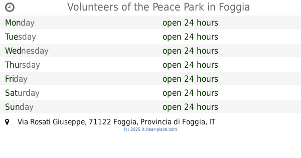
Volunteers of the Peace Park
Via Rosati Giuseppe, Foggia
Park
read more
2.095 km
Parco Volontari della Pace
Viale degli Aviatori, 80, Foggia
Park
read more
2.188 km
Parco Con Pista Running
Foggia
Park
read more
2.469 km
Villa Comunale - Parco Karol Wojtyła
Piazza Camillo Benso Cavour, Foggia
Park
read more
2.6 km
Città Giardino
Via Caduti dei Bombardamenti dell'Estate '43
Park
read more
2.983 km
Il Giardino Di Calimba
Via Consagro Roberto, 49, Foggia
Park
read more
3.286 km
Piazza Aldo Moro
Foggia
Park
read more
3.641 km
Parco San Felice
Foggia
Park
read more
3.729 km
Parco Icona Vetere
Via Antonio Ciano, 38, Foggia
Park
read more
3.735 km
Parco dell'Iconavetere
Via Antonio Ciano, 38, Foggia
Park
read more
4.179 km
Danny's Pet Village
Foggia
Park
read more
4.637 km
AGRITER FARMACIA AGRICOLA - Concimi Foggia - Sementi Foggia
c.da S.Cecilia SS 673 KM 21,368, Foggia
Park
read more
📑
all categories
Accounting
Administrative area level 1
Administrative area level 2
Airport
Amusement park
Aquarium
Art gallery
Atm
Bakery
Bank
Bar
Beauty salon
Bicycle store
Book store
Bowling alley
Bus station
Cafe
Campground
Car dealer
Car rental
Car repair
Car wash
Casino
Cemetery
Church
City hall
Clothing store
Colloquial area
Convenience store
Country
Courthouse
Dentist
Department store
Doctor
Electrician
Electronics store
Embassy
Finance
Fire station
Florist
Food
Funeral home
Furniture store
Gas station
General contractor
Grocery or supermarket
Gym
Hair care
Hardware store
Health
Hindu Temple
Home goods store
Hospital
Insurance agency
Jewelry store
Laundry
Lawyer
Library
Light rail station
Liquor store
Local government office
Locality
Locksmith
Lodging
Meal delivery
Meal takeaway
Mosque
Movie rental
Movie theater
Moving company
Museum
Natural feature
Neighborhood
Night club
Painter
Park
Parking
Pet store
Pharmacy
Physiotherapist
Place of worship
Plumber
Point of interest
Police
Political
Post office
Premise
Real estate agency
Restaurant
Roofing contractor
Route
Rv park, camping
School
Shoe store
Shopping mall
Spa
Stadium
Storage
Store
Subpremise
Subway station
Supermarket
Synagogue
Taxi stand
Train station
Transit station
Travel agency
University
Veterinary care
Zoo
administrative area level 3
sublocality level 1
↑